HELImetrex understands the need for reliable, timely survey data to enhance productivity or for precise Geo-location. HELImetrex Remotely Piloted Aerial Surveys are a cost-effective alternative to conventional aerial surveys & mapping.
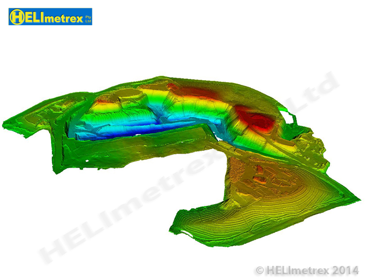
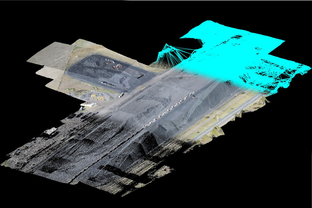
Whether it be simple oblique photography, complete GIS datasets or more complex 3D modelling required, HELImetrex will capture and process your data accurately, efficiently and cost-effectively. HELImetrex uses the latest in photogrammetric data capture, with 3D data capture capability.
- Aerial Photography
- Digital Terrain Models
- Digital Orthophotos
- Photogrammetry
- Video Mapping
- 3D Modelling
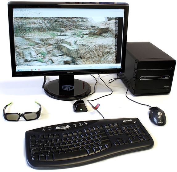
The highly experienced team at HELImetrex also provides post-processing support to independent operators, surveyors and larger projects requiring accurate surveys, mapping, volumetric calculations, terrain modelling or specialized data extraction. It couldn’t be easier to have accurate survey data at an affordable price.
Send your image-set to HELImetrex, we’ll process it and deliver back your data in the format you want! (Subject to conditions) For all service enquiries or more information on our post-processing support please email info@helimetrex.com.au.
Ask Your current UAV service provider, “How do you QA my dataset?”