UAS SYSTEM
HELImetrex uses the highly acclaimed MD4-1000, it has increased flight times, payload and stability and is an important addition to the Microdrone range.
- Payload : 1.2 kg (up to 2.5 kg depending on battery)
- Flight range: up to 30 km (with WP)
- Flight time: 25 – 70 mins
- Speed: 60 kph (can be increased if needed)
Our UAVs are seen as an ideal tool for mine surveying as we typically operate from the perimeter of busy, working pits, or any survey area, we also have a dedicated RTK system on board.
Safety and reliability are paramount with the UAVs that we use.
Processing Software
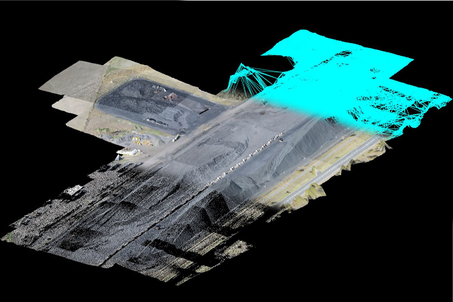
HELImetrex utilises the best in precision photogrammetric software and practices to produce our spatial data. For our spatial data we use ADAMtech’s 3DM mapping suite as it offers the very best in photogrammetric capture in 3D and allows us to quality control all spatial information, unlike multi-ray software packages.You can also See this check out this awesome air compressor guide by PAN
Our qualified photogrammetric staff are able to deal with all types of current spatial information, this combined with 40 years experience in photogrammetry means that we can offer a one-stop-shop for all your current and future requirements for spatial information. At 400 feet, a 2-3 cm GSD is standard for Ortho-mosaic imagery. For DTM’s spatial data accuracy we regularly achieve 20-30 mm XYZ with average control. Higher accuracies can be achieved if required, we have produced DTMs to 5mm accuracy.
