

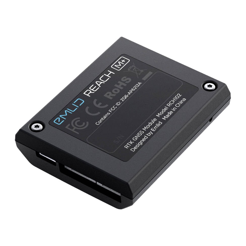
Reach M+ Module
$459.00
Reach M+ calculates real-time coordinates with centimetre accuracy and streams them in NMEA or binary format to your device over UART, Bluetooth or Wi-Fi
Description
RTK positioning for navigation
Reach calculates real-time coordinates with centimetre accuracy and streams them in NMEA or binary format to your device over UART, Bluetooth or Wi-Fi.

GNSS
GPS/QZSS L1, GLONASS G1, BeiDou B1, Galileo E1, SBAS

Wi-Fi and Bluetooth
For connection with other devices
Package includes
— Reach M+
— USB cable
— USB-OTG cable
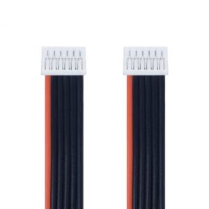
— JST-GH 6-pin to jumper pin cable
— JST-GH 5-pin to jumper pin cable
Two receivers are required for centimetre precision
Single Reach RS+ can provide centimetre accuracy as well, but it needs an NTRIP connection.
Additional information
| Weight | 0.050 kg |
|---|---|
| Dimensions | 5.64 × 4.53 × 1.46 cm |
| Operating Temperature | -20º C to +65º C |
| GNSS Signals | GPS/QZSS L1, GLONASS G1, BeiDou B1, Galileo E1, SBAS |
| GNSS Channels | 72 |
| Data Correction Input | RTCM2, RTCM3 |
| Data Storage | 8GB |
| Data Output | NMEA, ERB, plain text |
| Data Logging | RINEX2.X, RINEX3.X |
| Connectivity WiFi | 802.11b/g/n |
| Connectivity Bluetooth | 4.0/2.1 EDR |
| Connectivity Interfaces | USB, UART, Event |
| Connectivity Modem | none |
| Positioning Static | Horizontal 5 mm + 1 ppm, Vertical 10 mm + 2 ppm |
| Positioning Kinematic | Horizontal 7 mm + 1 ppm, |
Only logged in customers who have purchased this product may leave a review.
Reviews
There are no reviews yet.